


INP-WealthPk
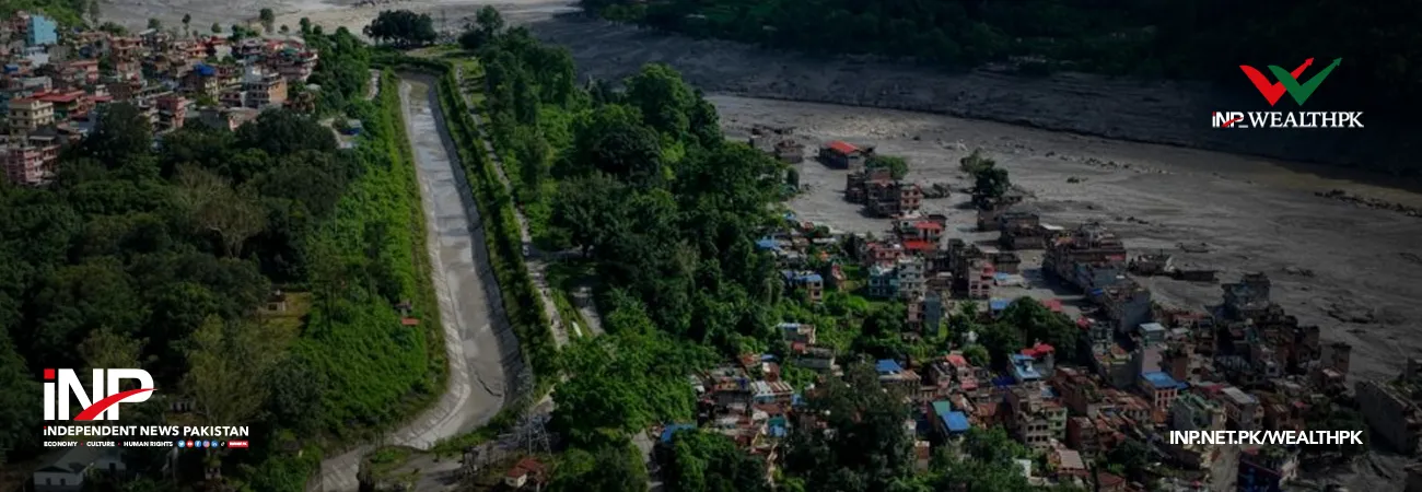
Nepal floods: how misinformation hijacked attention from the disaster
September 02, 2026
By Farooq Awan
As rescue and relief operations continued after the devastating August 26 floods along the Nepal-China border, misinformation, fabricated visuals and geopolitical speculation diverted attention from the disaster’s humanitarian consequences and the growing vulnerability of Himalayan communities.
An evidence review of official records, scientific assessments, news reports and social media posts published between August 26 and 31 found that unsupported narratives began circulating within hours of the disaster. These ranged from allegations of a dam collapse and deliberate water release to recycled flood footage, artificial intelligence-generated images, sabotage claims and conspiracy theories.
The misinformation did not follow a single narrative or necessarily originate from one source. Nevertheless, the volume of misleading claims and dramatically fabricated content shifted attention away from rescue efforts, affected communities and the wider climatic risks facing the Himalayan region.
According to the review available with Wealth Pakistan, the strongest scientific evidence indicates that a high-altitude mass of ice and rock collapsed near the border, generating an avalanche and debris flow that entered the Lhende Khola, a tributary of the Bhote Koshi River.
The debris temporarily blocked the river, creating a natural barrier before an exceptional surge of water, sediment and large boulders travelled downstream through the Bhote Koshi-Trishuli corridor. The flood damaged settlements, roads, bridges, hydropower facilities and other infrastructure, prompting extensive rescue and emergency relief operations.
Assessments by the World Meteorological Organization, the International Centre for Integrated Mountain Development and independent scientists broadly supported this natural-hazard mechanism. USGS-based reporting also indicated that a seismic signal initially described as an earthquake was generated by the glacial collapse and debris flow rather than tectonic activity.
Early public accounts differed over the precise location of the initial collapse, while ICIMOD subsequently said the avalanche originated on the Nepali side. Despite this uncertainty, the scientific evidence pointed towards a high-mountain cryospheric event involving ice, rock and debris.
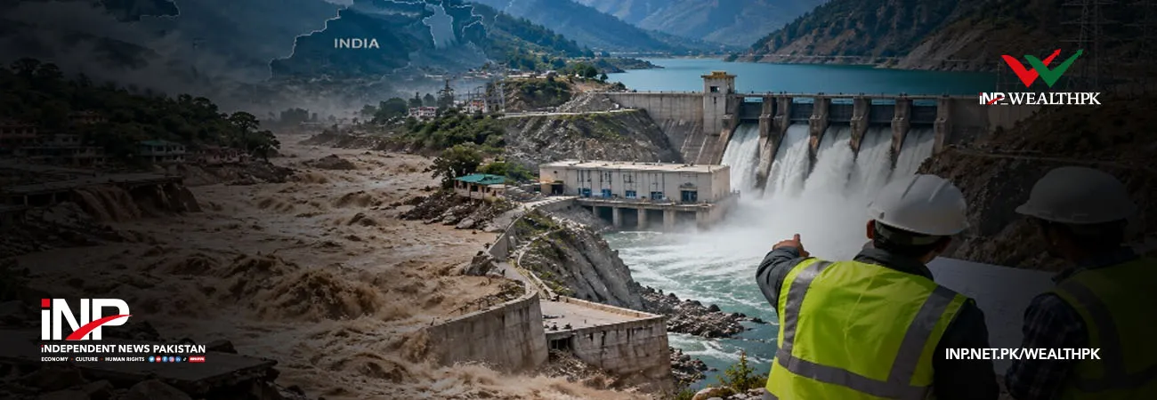
A major source of confusion was the changing use of the word “dam.” Scientists described the natural blockage created by ice, rock and sediment as a “landslide dam” or “debris dam.” In online discussions, this was gradually transformed into claims that an engineered dam had collapsed.
The linguistic shift gave rise to allegations that a Chinese-built hydroelectric dam had failed or that water had been deliberately released towards Nepal. The review found no credible evidence supporting either claim.
Social media posts also attempted to connect the disaster with border construction, hill cutting, settlements and damage to Nepali hydropower facilities. However, the accounts offered no geological assessments, hydrological analyses or engineering evidence establishing the alleged causal links.
Damage to power facilities showed that the infrastructure had been struck by the flood, the review noted, but did not establish that those facilities caused the disaster.
The review said long-term concerns about Himalayan infrastructure, the scientific cause of the flood and questions surrounding warning arrangements were separate issues. Combining them into a single narrative created implications that were not supported by the available evidence.
Questions about early warning also emerged after the disaster. China rejected allegations that it had failed to alert Nepal, while subsequent reporting documented cooperation and information exchange between authorities of the two countries.
China shared satellite imagery, hydrological and meteorological data, and early-warning information about an upstream barrier lake. Such information later contributed to a fresh warning issued by Nepali authorities.
However, the review said the available public material did not establish what was known before the initial flood, when it was known or how much practical warning time was available. Establishing a complete timeline would require detailed monitoring and communication records.
A separate wave of visual misinformation further complicated the information environment. Fact-checkers identified AI-generated images and footage from previous disasters, including the 2025 Dharali flood in India, falsely presented as scenes from Nepal.
One fabricated video alleged that an F-16 aircraft had bombed a dam and caused the flood. Investigators found that the footage had circulated before the disaster and contained an AI watermark. Claims that HAARP had caused the flood were also found to have no scientific basis.
The review concluded that unverified allegations circulating in Nepali and Indian information spaces were repeated, reframed and amplified by various social media users, commentators and outlets.
The episode illustrates how uncertainty, misleading terminology and unverified visuals can overwhelm verified information and distract public attention at a time when the primary focus should remain on victims, rescue operations and disaster preparedness.
Credit: INP-WealthPk
Related Articles